Geo-Graphical Information System (GIS)
Geo-Spatial Insights for Agricultural Excellence
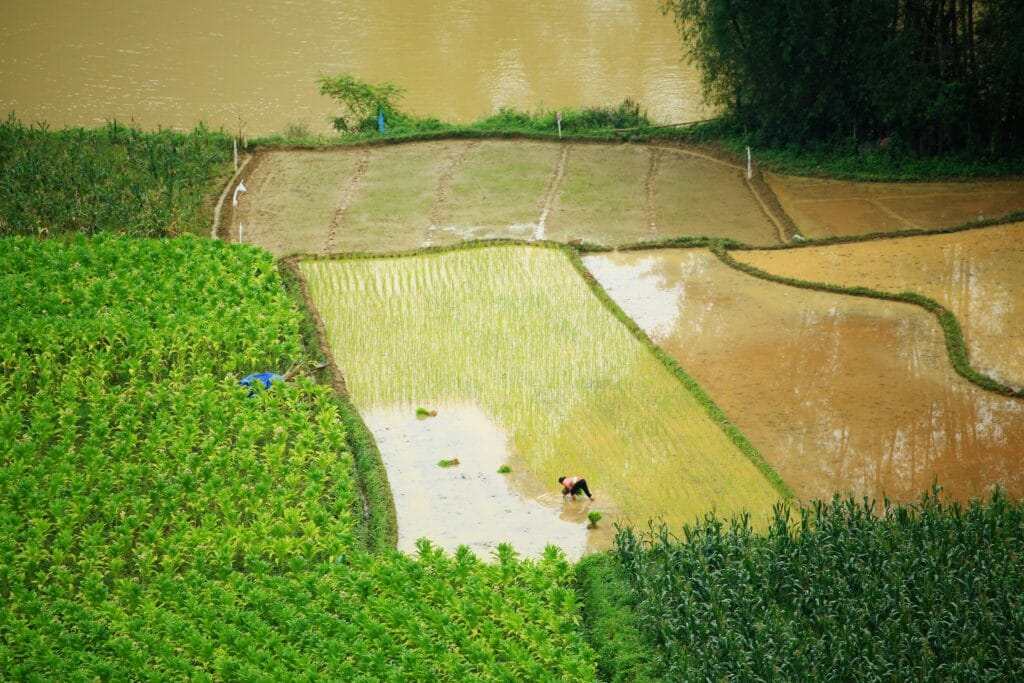
Introduction to GIS
A Geographic Information System (GIS) is a powerful tool that integrates various types of data using geographical locations. It allows users to visualize, analyze, and interpret spatial data to understand patterns, relationships, and trends. GIS is widely utilized across various industries, especially in agriculture, where it helps optimize farming practices by mapping crop distributions, monitoring land usage, and analyzing environmental conditions.
At Crop Reporting Services (CRS) Balochistan, our GIS technology plays a pivotal role in generating accurate agricultural reports, monitoring crop statistics, and providing valuable insights for effective decision-making. Through GIS, we are able to use satellite imagery, mapping software, and real-time data to ensure precise tracking and reporting of agricultural activities across the province.
In this section, you’ll find detailed maps, reports, and datasets generated by our dedicated GIS Lab team, showcasing past work and contributions to improving agricultural data management.
Benefits of GIS in Agriculture
GIS (Geographic Information Systems) has revolutionized modern agriculture, offering precision, efficiency, and sustainability. By incorporating spatial data into farming practices, GIS enables better decision-making and more effective resource management.
Improved Resource Management
GIS helps farmers track and optimize the usage of critical resources like water and fertilizers. By mapping out irrigation needs and soil nutrient levels, it ensures that every drop of water and every gram of fertilizer is utilized effectively, minimizing waste and increasing productivity.Enhanced Crop Yield Forecasts
With satellite imagery and data analysis, GIS allows farmers to predict crop yields more accurately. This leads to better planning for harvests, reducing post-harvest losses, and improving the supply chain management. Knowing what to expect helps farmers optimize storage, transportation, and sale strategies.Cost-Effective Land Use Planning
GIS tools enable farmers to assess the land’s suitability for various crops by evaluating soil quality, terrain, and climate. This helps farmers avoid planting in areas where crops may not thrive, saving time, effort, and resources while maximizing crop production.Sustainable Farming Practices
By monitoring changes in land use, soil erosion, and crop health over time, GIS aids in implementing sustainable farming practices. Farmers can adjust their methods based on historical data, helping to conserve the environment and ensure the long-term health of their fields.
GIS is an indispensable tool for today’s farmers, providing data-driven insights that promote efficiency, sustainability, and higher productivity in agriculture.
GIS Methodologies